Tag Name: Geospatial
April 30, 2025
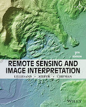
Textbook in the introductory courses in remote sensing and image interpretation, and as a reference for the burgeoning number of practitioners who use geospatial information and analysis in their work.
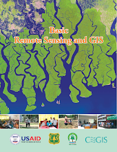
Learn moreBasic Remote Sensing and GIS provides an introduction to the principles and applications of remote sensing and Geographic Information Systems (GIS). It covers the fundamental concepts, technologies, and tools used …
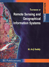
Learn moreThis book provides a comprehensive coverage of the techniques, applications, and technologies of remote sensing, as well as the Geographical Information System (GIS). It is organized into three parts: the …
Learn more


