Subcategory: Remote Sensing
Created on: April 30, 2025
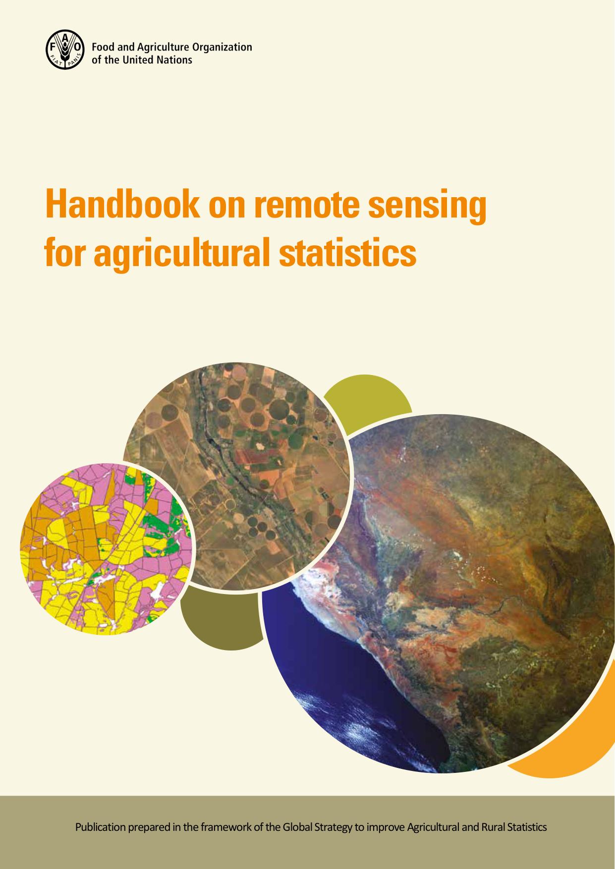
𝐇𝐚𝐧𝐝𝐛𝐨𝐨𝐤 𝐨𝐧 𝐫𝐞𝐦𝐨𝐭𝐞 𝐬𝐞𝐧𝐬𝐢𝐧𝐠 𝐟𝐨𝐫 𝐚𝐠𝐫𝐢𝐜𝐮𝐥𝐭𝐮𝐫𝐚𝐥 𝐬𝐭𝐚𝐭𝐢𝐬𝐭𝐢𝐜𝐬
This provide guidelines on the use of remote sensing in the context of agricultural statistics.
Learn more
Remote Sensing And Image Interpretation, 7Th Edition
Textbook in the introductory courses in remote sensing and image interpretation, and as a reference for the burgeoning number of practitioners who use geospatial information and analysis in their work.
Learn more
Introduction To Modern Statistics
Is a beginner-friendly textbook that introduces the principles and methods of modern statistics. It emphasizes data exploration, statistical reasoning, and real-world application using computation and visualization.
Learn more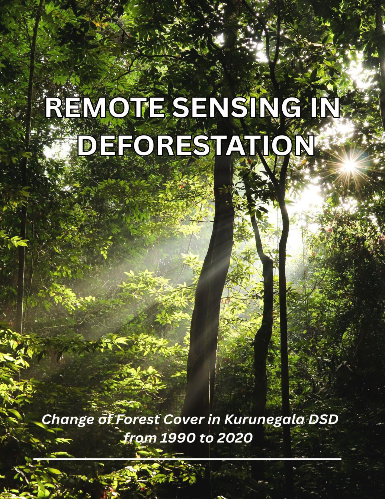
Remote Sensing in Deforestation
Change of Forest Cover in Kurunegala DSD from 1990 to 2020
Learn more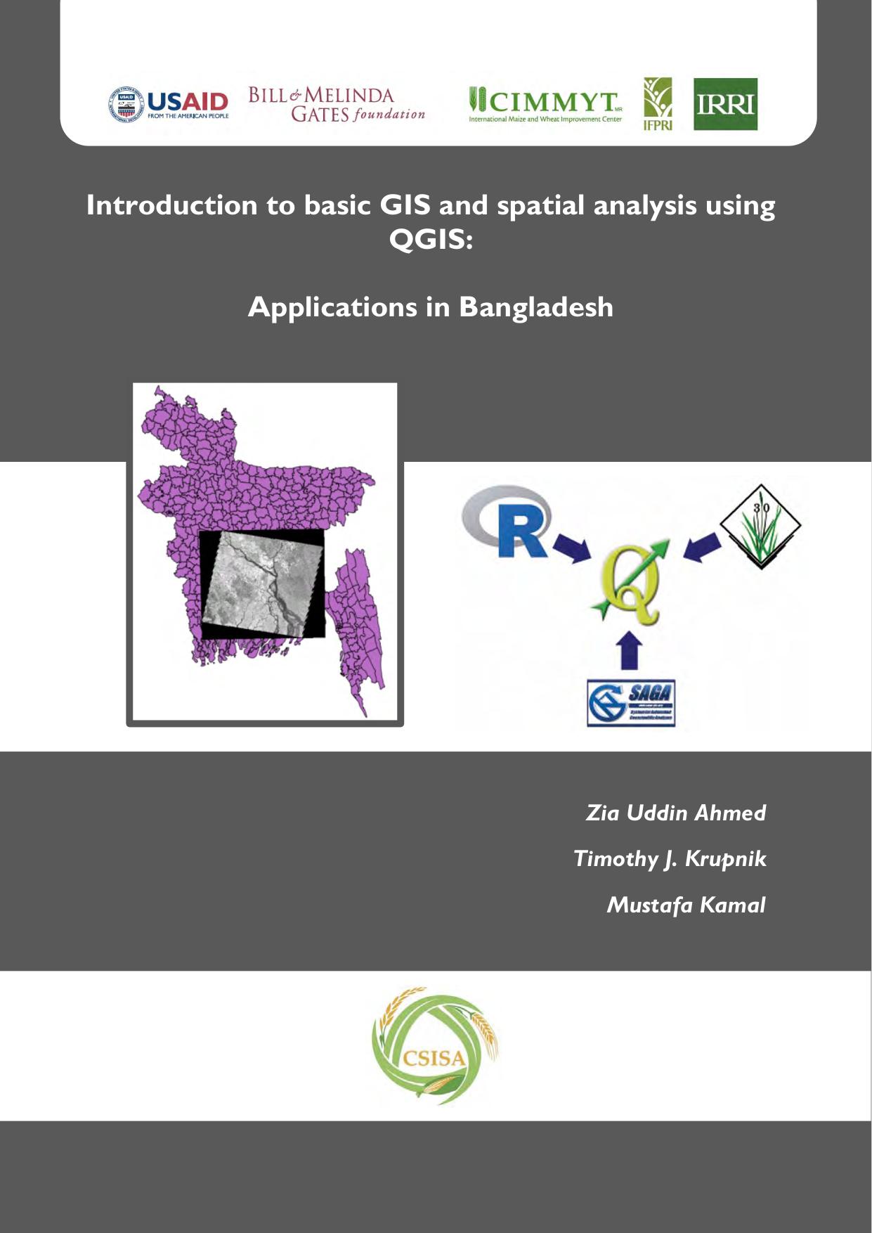
Introduction To Basic Gis And Spatial Analysis Using Qgis
Is a practical guide that teaches the fundamentals of Geographic Information Systems (GIS) and spatial analysis through the open-source software QGIS. Aimed at beginners, the book covers essential GIS concepts, …
Learn more
Basic Remote Sensing and Gis
Basic Remote Sensing and GIS provides an introduction to the principles and applications of remote sensing and Geographic Information Systems (GIS). It covers the fundamental concepts, technologies, and tools used …
Learn more
Textbook Of Remote Sensing And Geographical Information
This book provides a comprehensive coverage of the techniques, applications, and technologies of remote sensing, as well as the Geographical Information System (GIS). It is organized into three parts: the …
Learn more